MJM Geospatial Consultants

Spatial Intelligence for Informed Decisions

MJM Geospatial Consultants provides cutting-edge mapping, GIS analysis, and spatial data solutions for reseachers, businesses, governments, and environmental organizations worldwide.

About MJM Geospatial Consultants

MJM Geospatial Consultants is a leading provider of geospatial solutions, delivering innovative and precise mapping services to clients across various industries for over 7 years. With a team of experienced GIS professionals and cutting-edge technology, we transform complex spatial data into actionable intelligence.

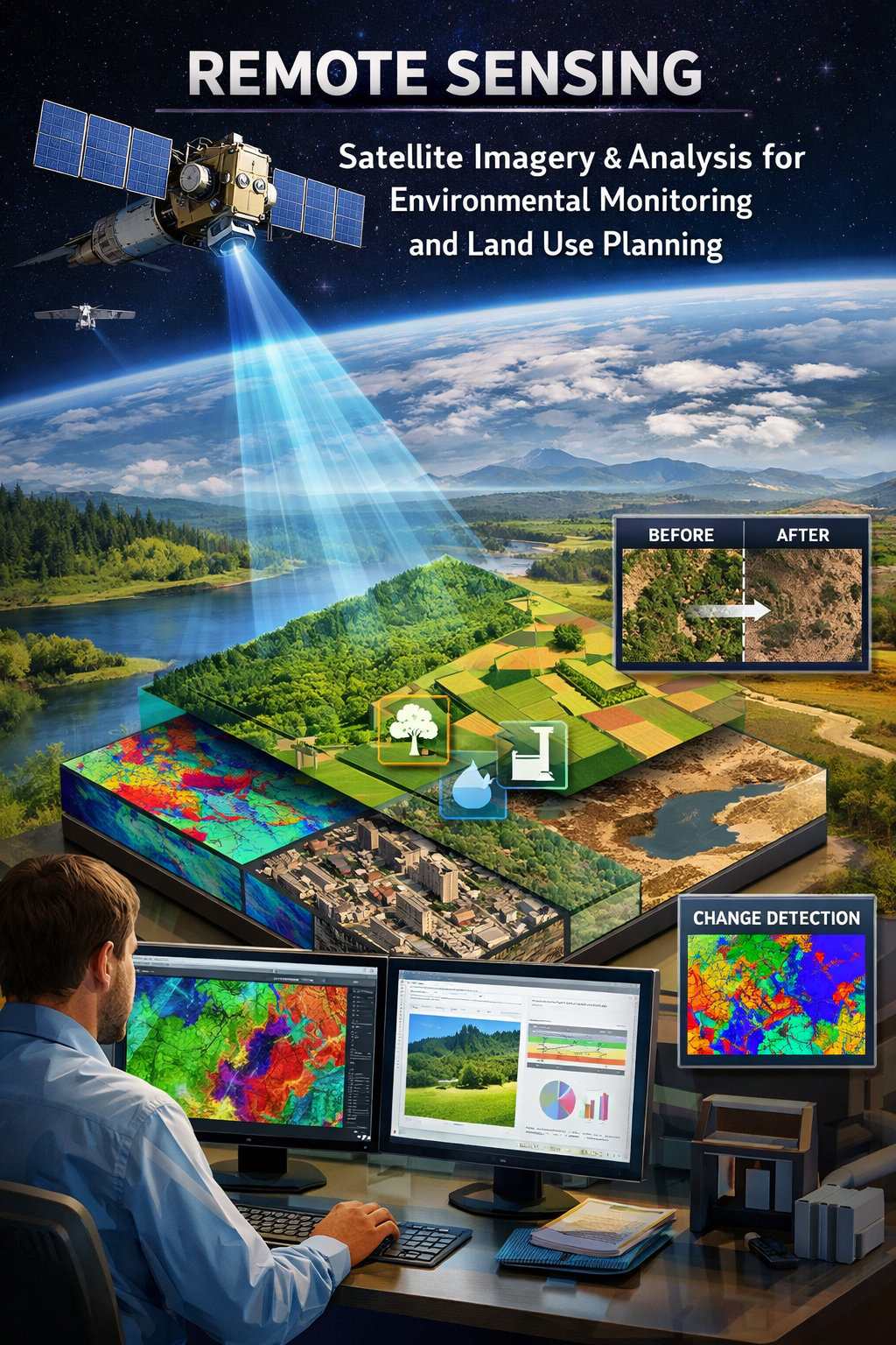
MJM Geospatial Consultants is a geospatial consulting firm specializing in Geographic Information Systems (GIS), remote sensing, earth observation, and spatial data analytics. We support organizations and individuals in turning geospatial data and satellite/drone imagery into actionable intelligence for planning, policy, and operational decision-making.

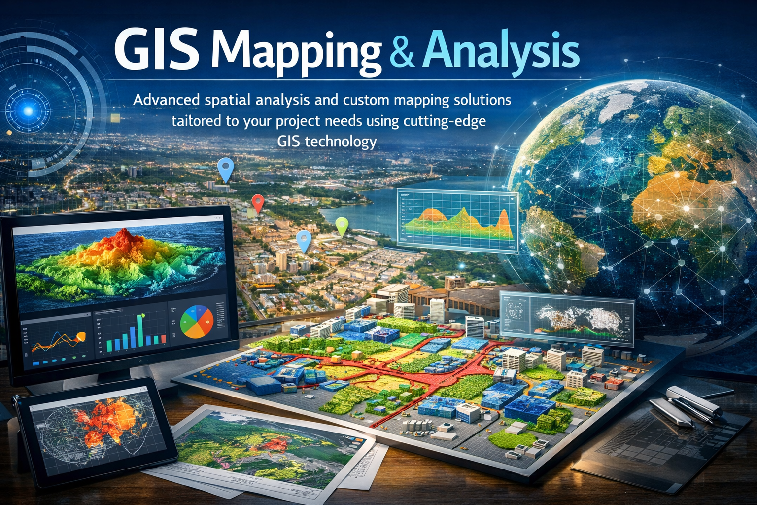
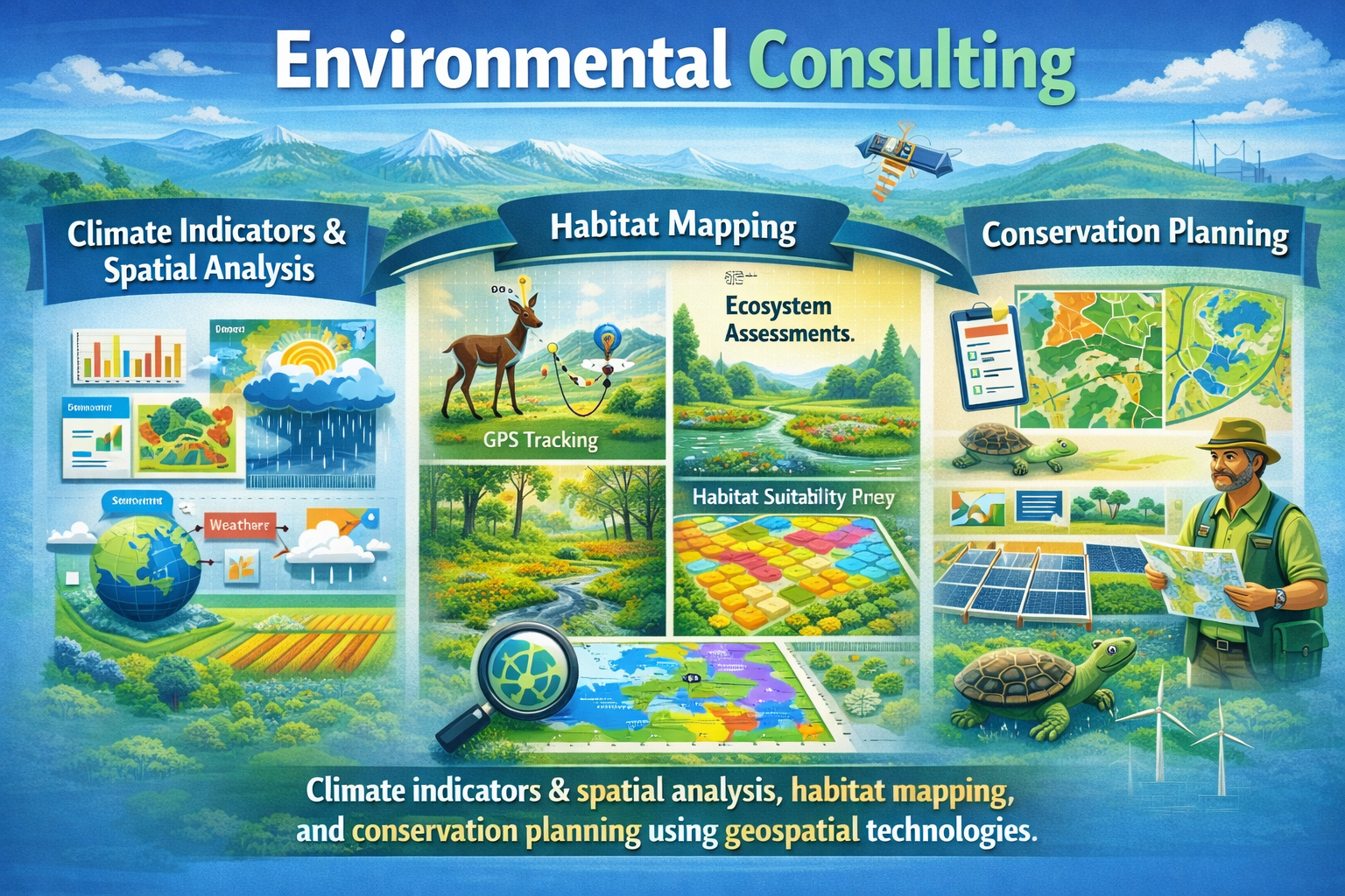
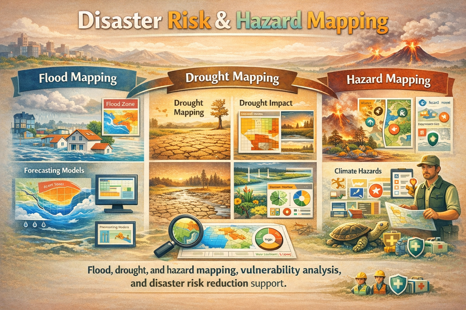
We provide GIS consulting services, remote sensing analysis, and spatial modeling for government agencies, NGOs, development partners, and the private sector. Our expertise spans land use and land cover mapping (LULC), environmental and climate monitoring, urban and regional planning, infrastructure mapping, agricultural and natural resource management, and disaster risk assessment.

We leverage satellite data, UAV/drone data, GPS and field data collection, and advanced GIS software to deliver high-quality maps, geodatabases, dashboards, spatial analyses, and technical reports. Our workflows emphasize data accuracy, quality control, and reproducibility, ensuring outputs are reliable and decision-ready.

At MJM Geospatial Consultants, we combine technical excellence and international best practices to deliver scalable geospatial solutions that drive sustainable development and operational efficiency.

Our commitment to excellence and client satisfaction has made us a trusted partner for government agencies, private corporations, research and academic institutions and individuals seeking reliable geospatial expertise.

Ready to start your geospatial project? Contact us today for a consultation or partnership.

Why Choose MJM Geospatial Consultants

We deliver geospatial solutions that combine technical excellence with practical insight. By integrating advanced spatial analysis, rigorous methodologies, and clear communication, we help organizations make informed, confident decisions. Our work is grounded in integrity and precision, ensuring that every output is not only technically sound but also meaningful, reliable, and ready to drive real-world impact.

  • Deep expertise in GIS and remote sensing to solve complex spatial challenges
  • Proven, defensible geospatial methods you can trust
  • Clear, concise communication that supports confident decision-making
  • An unwavering commitment to quality, integrity, and meaningful impact

Our Vision

To be a trusted leader in geospatial intelligence, delivering innovative GIS and remote sensing solutions that empower informed decision-making and sustainable development across the world.

Our Mission

To provide accurate, reliable, and impactful geospatial solutions through GIS, remote sensing, and spatial data analytics to help our clients transform earth observation data into actionable insights for planning, policy, and operational excellence.

Our Core Values

The principles that guide our work and define our commitment to excellence

Technical Excellence

We uphold the highest standards in GIS and remote sensing, applying sound methodologies, quality assurance, and best practices in all our work.

Integrity & Professionalism

We operate with honesty, transparency, and accountability, building trust with our clients and partners.

Data-Driven Decision Support

We believe in evidence-based solutions and deliver geospatial intelligence that is accurate, defensible, and decision-ready.

Client-Centered Approach

We work collaboratively with our clients to understand their needs and deliver practical, context-specific solutions.

Innovation & Continuous Learning

We embrace emerging geospatial technologies and continuously enhance our skills to deliver modern and effective solutions.

Impact & Sustainability

We are committed to using geospatial science to support sustainable development, environmental stewardship, and resilient communities.

Our Services

Comprehensive geospatial solutions for your unique challenges

GIS Mapping & Analysis

GIS Mapping & Analysis

Advanced spatial analysis and custom mapping solutions tailored to your project needs using cutting-edge GIS technology.

Remote Sensing & Earth Observation

Remote Sensing & Earth Observation

Satellite imagery analysis and interpretation for environmental monitoring, land use planning, and change detection.

Spatial Data Management

Spatial Data Management

Database design, implementation, and management for efficient spatial data storage and retrieval.

Environmental Consulting

Environmental Consulting

Climate indicators & spatial analysis, habitat mapping, and conservation planning using geospatial technologies.

Training & Capacity Building

Training & Capacity Building

We build institutional capacity through hands-on GIS and remote sensing training, technical mentoring, and knowledge transfer.

Disaster Risk & Hazard Mapping

Disaster Risk & Hazard Mapping

Flood, drought, and hazard mapping, vulnerability analysis, and disaster risk reduction support.

Geospatial Analytics & Data Visualization

Geospatial Analytics & Data Visualization

Predictive modeling, spatial statistics (geostatistics), and trend analysis to extract valuable insights from location data.

Our Projects

Explore our portfolio of some successful geospatial projects across various domains

Urban Planning GIS Project
GIS Mapping & Analysis

Urban Infrastructure Planning for Nairobi County

Comprehensive GIS-based urban planning project mapping infrastructure, land use, and transportation networks for sustainable city development.

ArcGIS Pro QGIS PostgreSQL Network Analysis
Agricultural Monitoring
Remote Sensing & Earth Observation

Crop Health Monitoring & Yield Prediction

Satellite imagery analysis for agricultural monitoring, using NDVI and other vegetation indices to predict crop yields and identify stress areas.

Sentinel-2 Landsat 8 Python NDVI Analysis
Forest Monitoring
Environmental Consulting

Forest Cover Change Detection & Carbon Sequestration

Multi-temporal analysis of forest cover changes using satellite imagery to support conservation efforts and carbon credit calculations.

Change Detection Machine Learning Google Earth Engine Carbon Assessment
Flood Risk Mapping
Disaster Risk & Hazard Mapping

Flood Risk Assessment & Early Warning System

Development of flood risk maps and early warning system using hydrological modeling and terrain analysis for flood-prone regions.

Hydrological Modeling DEM Analysis Risk Assessment Early Warning
GIS Training Workshop
Training & Capacity Building

GIS & Remote Sensing Capacity Building

Comprehensive training program for government officials on GIS applications in urban planning, environmental management, and disaster response.

Training Workshops Capacity Building Technical Support Custom Curriculum
Healthcare Accessibility Analysis
Geospatial Analytics & Data Visualization

Healthcare Facility Accessibility Analysis

Spatial analysis of healthcare facility accessibility using network analysis and demographic data to identify underserved areas.

Spatial Statistics Dashboard Development Network Analysis Data Visualization

Statistics

200+
Projects Completed
7+
Years Experience
90+
Satisfied Clients

Contact Us

Ready to start your geospatial project?

Our team is ready to help you harness the power of geospatial technology for your project. Contact us for a consultation or project quote.

Nairobi, Kenya

+254790449655

+254733959678

info@mjmgeospatial.com

Geospatial Expertise & Technologies
#earthobservation #geospatial #GEOINT #GEOAI #Geography #remotesensing #GIS #satelliteimagery #spatialanalysis #datavisualization #cartography #environmentalmonitoring #photogrammetry #geostatistics